|
|
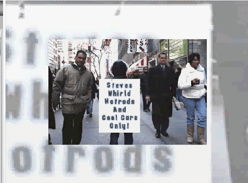
Post by steve on Sept 23, 2012 15:31:55 GMT -6
 Attachments:
|
|
|
|
Post by steve on Sept 23, 2012 15:35:23 GMT -6
 the Peace Arch is aproximately at the half pic Attachments:
|
|
|
|
Post by steve on Sept 23, 2012 15:39:11 GMT -6
 the land at the end of the pier is the USA..Point Roberts area..the Peace Arch border crossing is to the east ..to the west Vancouver Island..not sure how wide the bay comes inland..its only a couple a few miles the average map doesnt even show the east west indent it makes off the coast. Attachments:
|
|


 the Peace Arch is aproximately at the half pic
 the land at the end of the pier is the USA..Point Roberts area..the Peace Arch border crossing is to the east ..to the west Vancouver Island..not sure how wide the bay comes inland..its only a couple a few miles the average map doesnt even show the east west indent it makes off the coast.